 Here Be Oddities
 Watch on YouTube
Nº 011 Why does this exist?
The Bit of America That Exists Because of a Bad Map
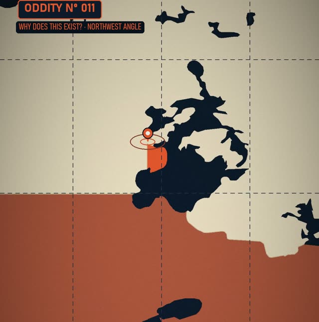
The Northwest Angle is the northernmost point of the lower 48, and it exists because of a mistake. The 1783 treaty ran the border due west from Lake of the Woods to the source of the Mississippi, but the map they used was wrong: the river starts far to the south. When the border was fixed, this corner was left stranded. By road, the only way in is through Manitoba.
Watch the ShortSources
- Northwest Angle (1783 treaty, Mitchell Map, 1818 fix, population 149 in 2020)
- Remote US Customs check-in (CBP ROAM)
Map data: Natural Earth. Treaty lines are schematic.
Published 2 November 2026. Narration is AI-voiced.